Hiking
 Photo ©
iStockPhoto
Photo ©
iStockPhoto
Hiking
Overview
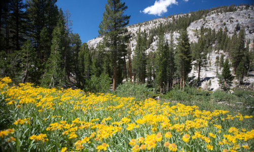
Lake Tahoe and its surrounding areas provide nearly limitless opportunities for hikers. Whether you’re looking for easy day hikes, challenging long distance treks, pristine mountain lakes or high alpine summits, you can find it here in Lake Tahoe.
Mt. Tallac
Considered by many to be the premiere hike of the Lake Tahoe region, the Mt. Tallac Trail ascends over 3,300 feet to the summit of, you guessed it, Mt. Tallac. At the summit, expect views of the Desolation Wilderness, Lake Tahoe, Fallen Leaf Lake and Emerald Bay. Trailhead: Located on CA-89 approximately 3.5 miles north of South Lake Tahoe. A sign marks the trailhead.
- Distance: 9.6 miles
- Average Time of Hike: 7 hours
- Elevation Gain: 3,300 feet
- Difficulty: Difficult
- Trail Type: Out and back
- Notes: A wilderness permit is required.
Angora Lakes Trail
This easy half mile hike is perfect for families, as well as those looking for a great place to swim or fish. Trailhead: From South Lake Tahoe, take CA-89 to Fallen Lake Road. Turn left, then left again at Tahoe Mt. road, where you’ll continue to Forest Service Road 12N14. Turn right at the large green gate, then continue to the parking lot.
- Distance: 1 mile round trip
- Average Time of Hike: Less than one hour
- Elevation Gain: Minimal
- Difficulty: Easy
- Trail Type: Out and back
Echo Lakes Trail
Hikers of all ages and ability levels can find something to suit their tastes on the Echo Lakes Trail. If you’re looking for a quick hike, take a short walk to the far end of Upper Echo Lake. For longer hikes, continue on Echo Lakes Trail to visit popular destinations such as Lake Aloha (12 miles) or Lake of the Woods and Ropi Lake (13 miles). Trailhead: From South Lake take Highway 50 towards Echo Summit and turn onto Johnson Pass Road. Stay left until you reach the parking area at Lower Echo Lake.
- Distance: Anywhere from a short walk to a 13 mile hike.
- Average Time of Hike: Varies
- Difficulty: Easy to Difficult
- Trail Type: Out and Back
- Notes: A wilderness permit is required for this hike
White Cloud Falls
This mellow trail winds through an alpine forest and deposits hikers at the base of White Cloud Falls. Along the way expect views of Cascade Lake. Trailhead: From South Lake Tahoe, head north on CA-89 for 9.4 miles until you reach Bayview Campground. Follow the campground 0.3 miles until you find the trailhead.
- Distance: 2 miles
- Average Time of Hike: Less than an hour
- Elevation Gain: Minimal
- Difficulty: Easy
- Trail Type: Out and back
Rubicon Trail
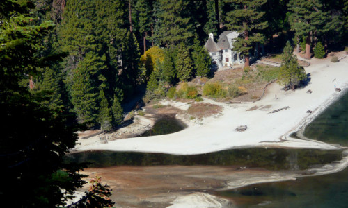
The Rubicon Trail treats hikers to breathtaking views of Lake Tahoe, with a terminus at a historic mansion with views of Emerald Bay. Trailhead: The Vikingsholm parking area is located approximately 9 miles north of South Lake Tahoe on CA-89. The Rubicon Trail parking area is located in the D.L. Bliss State Park on CA-89, approximately 2.5 miles north of the Vikinsholm parking area.
- Distance: 5.3 miles
- Average Time of Hike: 3 hours
- Elevation Gain: 350 miles
- Difficulty: Moderate
- Trail Type: One way
- Notes: Remember to park one car at the Rubicon Trail parking area and one at the Vikingsholm Parking Area. You can also use public transportation.
- Rubicon Trail is a moderate 5.3 mile hike that treats hikers to views of Lake Tahoe and Emerald Bay.
- White Cloud Falls Trail is a mellow two mile hike, perfect for families.
- Mt. Tallac is a strenuous 9.6 mile hike that culminates by with a summit of the mountain.